Chuang SHI: Research and Prospect of Beidou High-precision Positioning, Navigation and Timing
Pei WANG 2021-03-27
On March 25, 2021, Prof. Chuang SHI from Beihang University was invited to the 53th Science Lecture of College of Science, SUSTech. He gave a talk on the research and prospect of Beidou high-precision positioning, navigation and timing, which was chaired by Prof. Xiaofei CHEN, an academician of Chinese Academy of Sciences and dean of Dept. of Earth and Space Sciences, SUSTech.
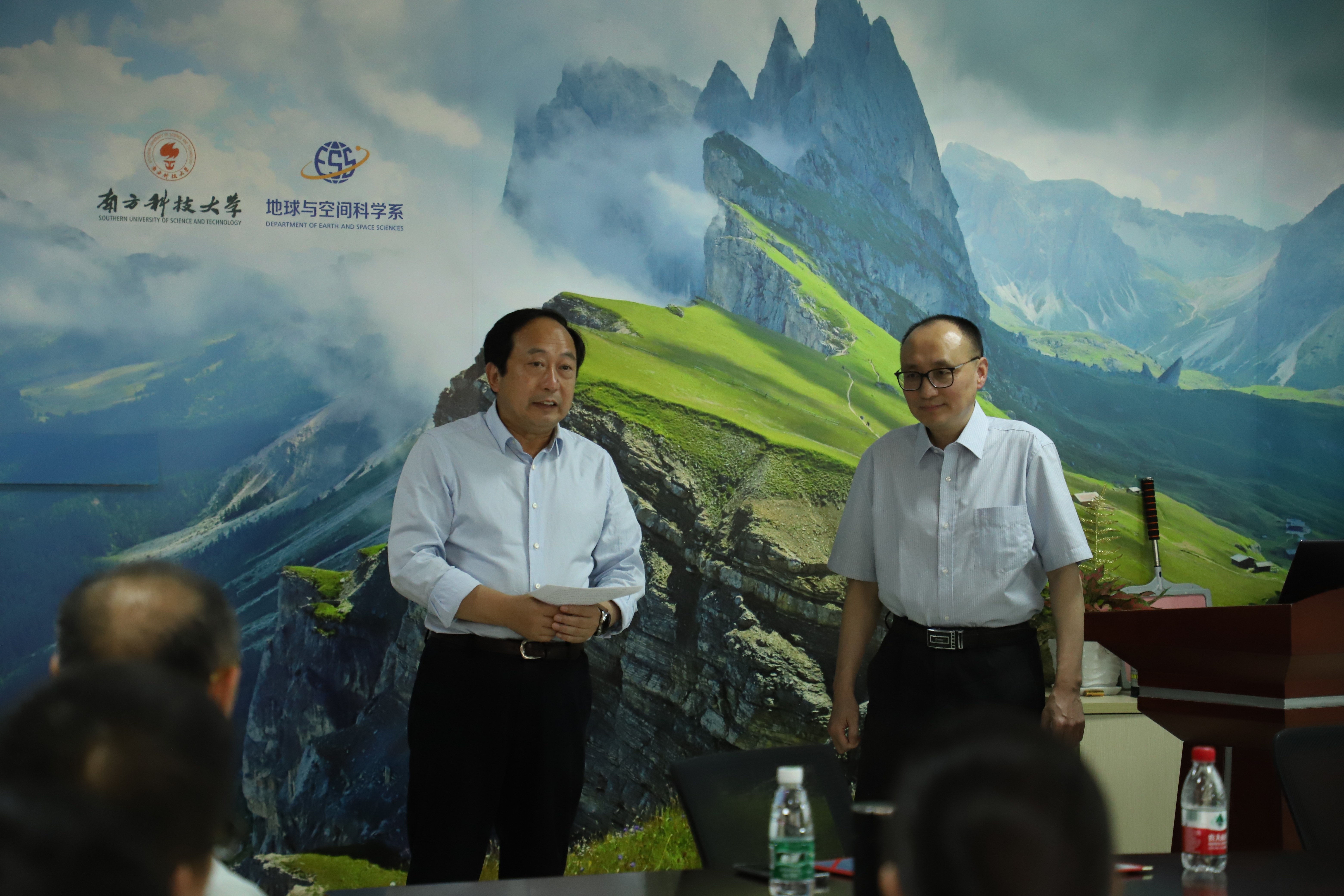
Prof. Xiaofei CHEN is hosting the lecture
Guest Introduction:
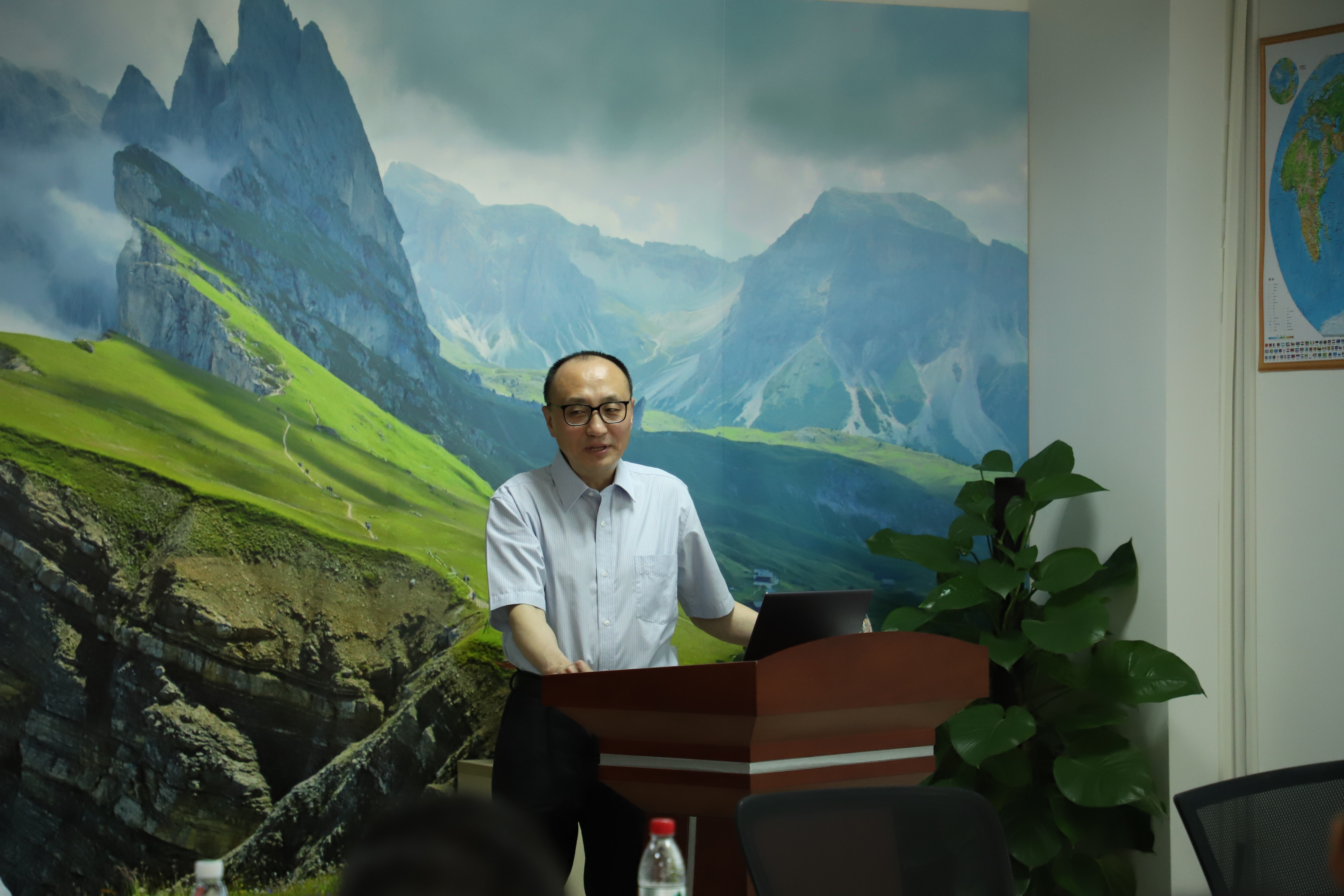
Prof. Chuang SHI
Prof. Chuang SHI is a professor at the School of Electronics and Information Engineering, Beihang University, and director of the Key Laboratory of Satellite Navigation and Mobile Communication Fusion Technology, Ministry of Industry and Information Technology. He has served as the leader of the expert group of the National Science and Technology Key Special Project “Navigation and Location Services”, and the director of the international GNSS Service Wuhan University Analysis Center. He has engaged in the research of theoretical methods, core software and application of Beidou/GNSS high-precision positioning and navigation timing. His research has supported the development and construction of the national Beidou Ground-based Augmentation System and found many important applications in related industries. He has won one first prize and two second prizes of the National Science and Technology Progress Award, and was selected as the National Outstanding Youth, Yangtze River Scholar, and Leading Talent of the Ten Thousand Talents Program. He has published more than 230 research papers and authorized more than 30 invention patents.
Lecture Review:
Beidou Satellite Navigation System is a global satellite system developed independently by China. It plays an important role in high-precision positioning, navigation, and timing (PNT) and the development of the service capabilities of Beidou. Prof. Chuang SHI introduced the latest research and prospects in the realization of Beidou high-precision PNT. He also introduced the integrated positioning of multi-system global satellite navigation systems, and the applications of high-precision positioning services.
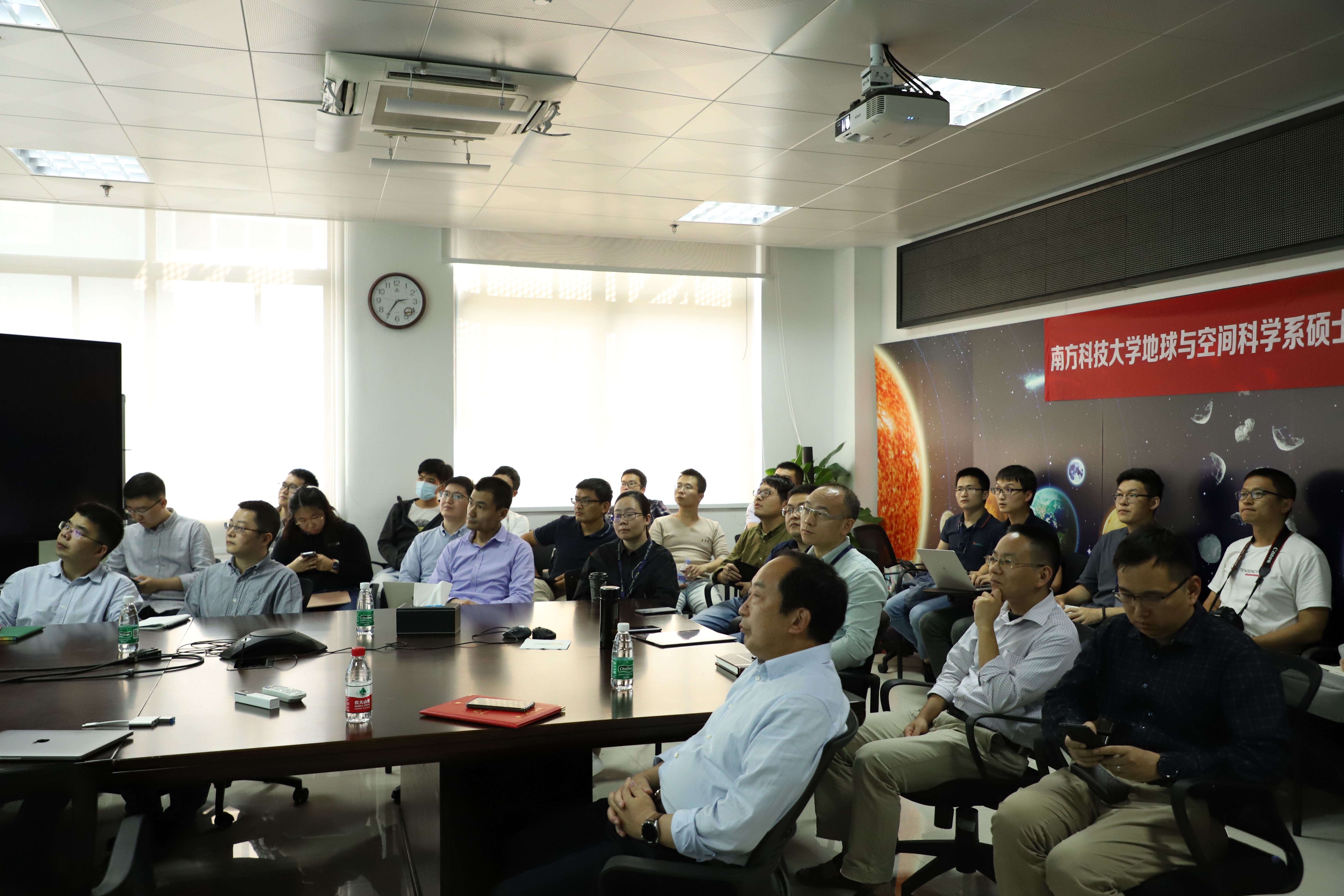
A glance of the lecture
The key issues in satellite positioning and navigation include the activities in space segment (orbital perturbation, satellite attitude, sunlight pressure, relativistic effect), propagation segment (ionosphere, troposphere), user end (processing algorithm), ground segment (crustal movement), etc.. Based on those considerations, Professor SHI’ s research group established geosynchronous orbit (GEO)/tilted geosynchronous orbit (IGSO)/medium orbit (MEO) heterogeneous constellation multi-attitude control models, which have improved the accuracy of the space segment, and constructed the grid model for the atmospheric propagation delay of satellite navigation signals with high spatial and temporal resolution at China’s regional level, improving the accuracy of propagation section and the accuracy of positioning.
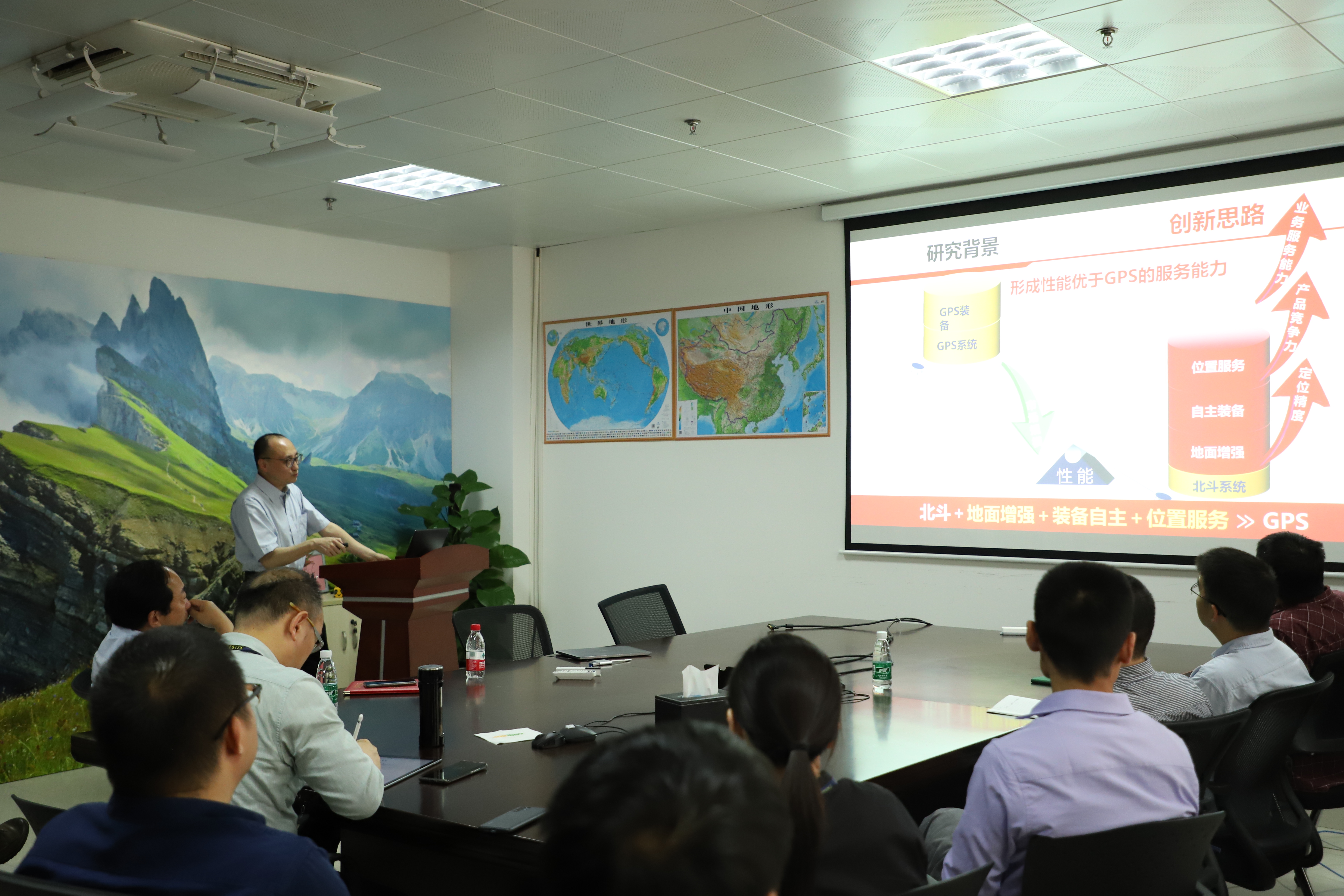
Prof. SHI is delivering the lecture
During the lecture, Prof. SHI demonstrated Beidou high-precision positioning processing platforms, which could help achieve quick and flexible positioning, while the interruption period could be less than 3 seconds, the relative positioning time could be shortened to 0.1 second. During the lecture, Prof.SHI detailed how his team had successfully applied the Beidou service to China's traffic monitoring, which had help reduce traffic accidents. The project has won the first class of National Science and Technology Progress Award. Based on high-precision positioning, he also detailed how to use the Beidou system to carry out the research on the transmission time of Beidou signal. The wide-area, real-time, and precise-time synchronization service system developed by Professor SHI’s research group boasts nanosecond-level accuracy, low cost, real-time, and high mobility. At the same time, he also introduced the application of Beidou system in combination with other geodetic methods in earth sciences, such as the estimation of earthquake magnitude, plate movement, mass migration, glacier changes, earth rotation, weather monitoring, etc.
In conclusion, Prof. SHI further discussed with the audience about the key research projects under the 14th “Five-Year Plan”, as well as the major research progress of the key laboratory of Ministry of Industry and Information Technology of the People’s Republic of China.
Interactions:
During the interaction, the audience asked questions about the latest research on the seamless linking between Beidou positioning system and indoor positioning, the occasion where Beidou PNT could be applied, and the problems in data processing. Prof. SHI explained them one by one.
Finally, Prof. Chen handed an honorary certificate to Prof. SHI and had a photo with him.
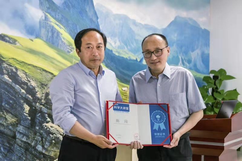
Prof. CHEN and Prof. SHI


